
West Linn Neighbor Sources
A West Linn neighbor lookup uses several narrow public sources. CMap is the starting point for parcel context around a focal address. Assessment & Taxation handles a specific owner inquiry because the map does not display owner names. Recording staff can search property-interest documents by a matched legal description. Elections data and City neighborhood material have their own rules. This block table keeps the sources separate so a map label or meeting notice is not mistaken for a full resident directory.
| Block source | What it shows around an address | Access and privacy boundary |
|---|---|---|
| CMap | Nearby parcel and tax-lot geometry, building, district, service, hazard, and map context | Free map; lines are not survey quality and names are withheld online |
| Assessment & Taxation | Owner inquiry for a specific parcel | Office contact; owner or mailing information is not a household roster |
| Recording Division | Parties and changes of interest on matched legal descriptions | Counter or request with published copy fees; not a resident directory |
| County voter report | Selected registrant information by permitted geography or precinct | Request form and ORS 247.955 terms; exemptions and private ballot choices apply |
| City permits / Webdrawer | Addressed project and public-process material | Residential e-files from 2012-current; role is not occupancy proof |
| Neighborhood associations | Boundary, public contact, agendas, minutes, and civic context | Eleven open civic associations; no City member directory |
For a precise property question, save the address, tax lot, and parcel key first. A street-side map view is a useful visual index, while the official custodian decides what an ownership or recording request can provide.
| Official West Linn record route | Shows a limited, dated fact from a named custodian and retains its access restrictions. |
|---|---|
| Commercial neighbor-tool category | May combine old or same-name associations, but does not replace the County’s parcel, recording, or election record. |
Map West Linn Neighbors
The immediate-block method in CMap is visual and bounded. It starts with one address and moves outward only far enough to understand the adjoining parcel layout. CMap accepts an address, city, intersection, tax lot, or parcel number. Its aerial option helps orient a block, while property-detail routes and map layers add tax-lot, jurisdiction, voting-district, service, and hazard context. Capture the tax-lot identifiers before leaving the map. They are better research keys than a casual visual description of a nearby house.
- Search the focal West Linn address or tax lot in CMap.
- Zoom out one or two levels, then browse nearby parcel polygons and note the address or tax-lot context for each relevant property.
- Toggle aerial imagery when it helps orient the street side, access points, or building pattern.
- Record the parcel key, municipal jurisdiction, and relevant district layers for a later official request.
- Use a Surveyor or Recorder source for a boundary question that needs legal certainty.
The County CMap guide describes the property-information and search routes used for the map portion of a West Linn neighbor lookup.
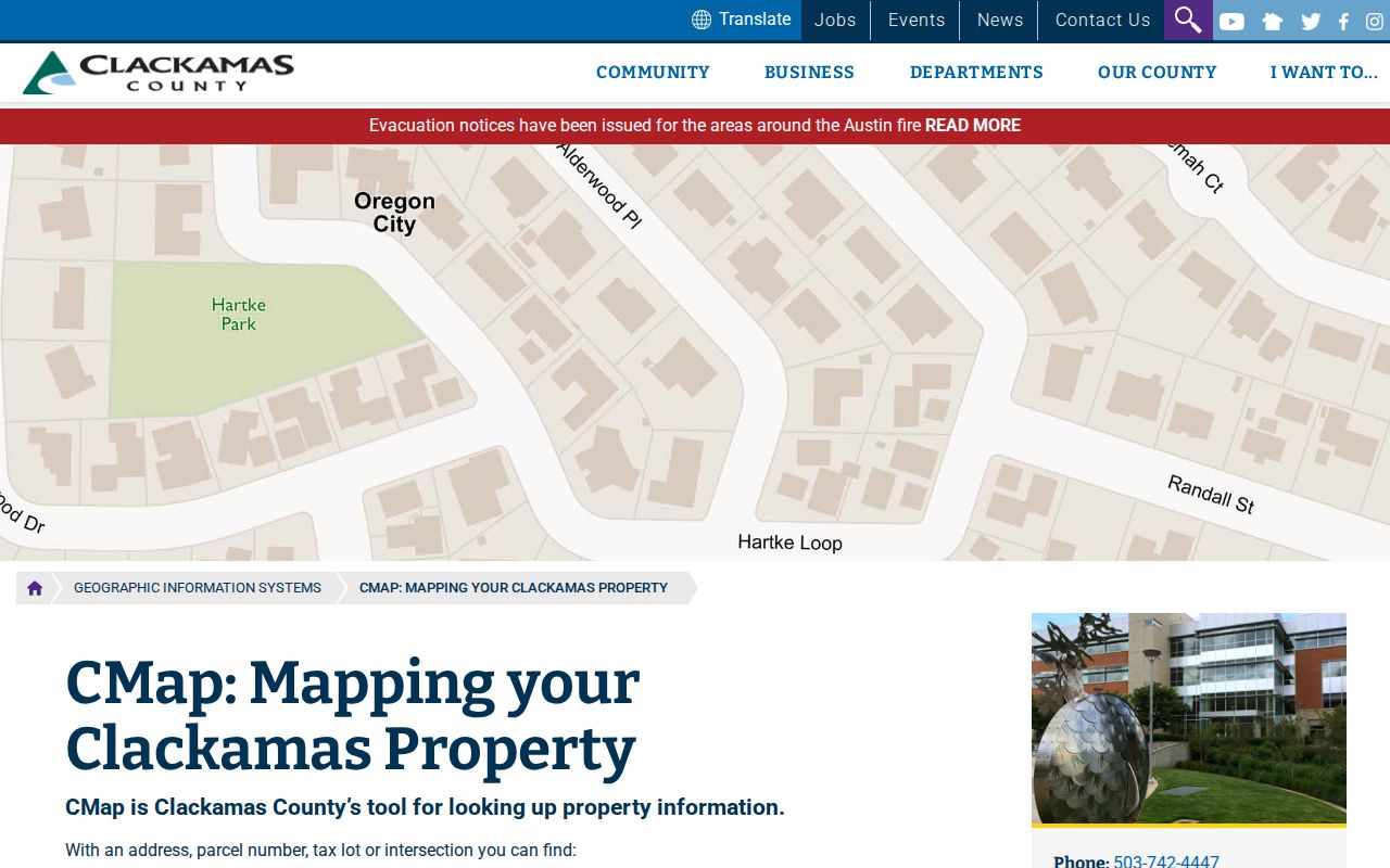
The CMap screen is a map entry point, not a public online owner roll. Use it to understand parcels around an address before directing a specific inquiry to the correct office.
West Linn Neighbor Boundaries
A parcel beside another parcel on CMap is map adjacency, not a legal finding about a shared boundary or a personal relationship. County map lines are not survey quality. For a matter that depends on a boundary, obtain the relevant survey, plat, or official record and consult an appropriate professional when needed. The aerial layer can help a person orient themselves, but a fence, driveway, or map edge is not the same as a surveyed line.
Owner information is also separate from the map. The County directs questions to Clackamas Assessment & Taxation at propertytaxinfo@clackamas.us or 503-655-8671 because CMap does not publish owner names online. An owner mailing address is the destination for tax notices. It can differ from the property’s situs address for many valid reasons and must not be described as proof that someone lives at the property.
When a title question remains, give the Recording Division the owner name when known, parcel account or tax lot, address, approximate date, and requested instrument type. Match the legal description through the recorded document sequence. County copy fees include a $3.75 search, 25 cents per page, and $3.75 certification. For a longer address-by-address property trail, use the West Linn Street Directory.
West Linn Voter Reports
The County walking-list and voter-list route is precinct based, not an open click-around neighbor list. A walking list is a PDF that groups addresses by precinct and can show registered voters and party affiliation by residential address. A registered voter list may include residential and mailing address, age, and party. The request form lets a requester choose County or district geography, precincts, and party selections. It does not establish every person on a block and does not reveal anyone’s ballot choices.
- Request channel: Clackamas County Elections processes the written voter-list request and generally emails reports unless another format is requested.
- Published processing: Allow at least 24 hours. The form lists a $25 setup fee, 25 cents per 1,000 records, possible CD cost, and a $500 maximum.
- Use condition: The requester signs an ORS 247.955 declaration against commercial use.
- Critical exclusions: Protected voters, ACP participants, qualifying election workers, nonregistrants, and private ballot choices are outside an ordinary neighbor report.
Registration records change with moves, confirmations, cancellations, and updates. A missing record must not be used to decide that someone is absent from West Linn or that an address has no other occupants.
Note: County Elections, not a parcel map, controls the form, exemptions, delivery, and allowed report scope.
West Linn Civic Neighborhoods
West Linn recognizes eleven open volunteer neighborhood associations. They are civic geographies, not private homeowner associations and not City-managed member directories. Anyone living in or owning a business inside an association boundary can join. The City may post public contacts, agendas, and minutes, which can help someone identify a meeting or public discussion related to a block. Those materials should never be converted into a list of households.
| West Linn association | City-recognized civic role | Directory limit |
|---|---|---|
| BHT, Bolton, Hidden Springs, Marylhurst | Open boundary-based civic associations with City map or association information | No City member roster is documented |
| Parker Crest, Robinwood, Rosemont Summit, Savanna Oaks | Open boundary-based civic associations with public material or map routes | Officer or public-contact information is not every household |
| Skyline Ridge, Sunset, Willamette | Open boundary-based civic associations with City-recognized geography | Public meeting material is not a resident directory |
The West Linn neighborhood associations page identifies the eleven groups and their civic structure.
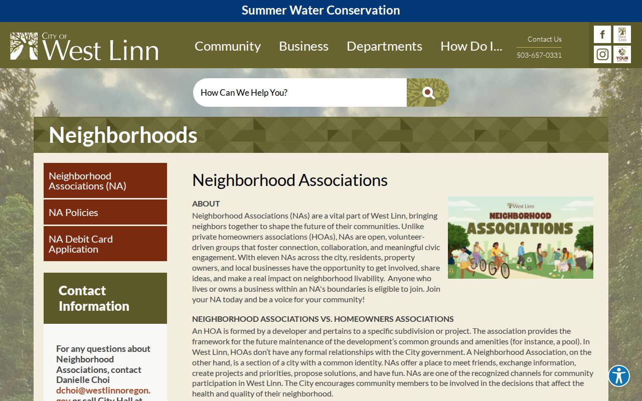
Use an association boundary to understand local civic geography. It does not identify all of the people who live or own property within that boundary.
West Linn Neighbor Maps
The City provides an address lookup through its West Linn Maps route and downloadable June 2024 street and address maps for BHT, Bolton, Hidden Springs, Marylhurst, Parker Crest, Robinwood, Rosemont Summit, Savanna Oaks, Skyline Ridge, Sunset, and Willamette. These maps are a practical way to place a West Linn address in its current civic neighborhood. They do not define postal delivery, parcel title, or the historic name that might appear in an older record.
The neighborhood-association map collection links the individual street maps used for this local orientation.
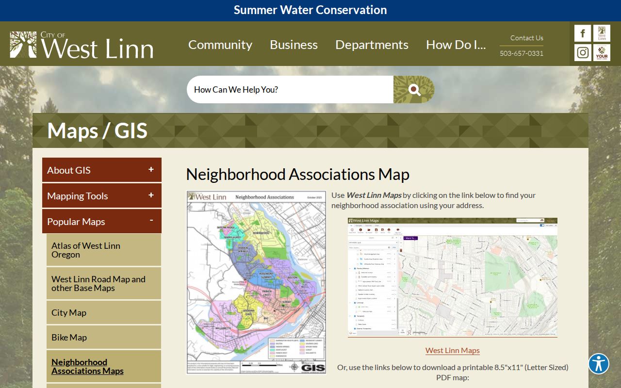
Compare the current civic map with the parcel’s legal description and any period-appropriate historic place name before merging records from different eras.
West Linn Neighbor Permit Roles
West Linn Webdrawer supplies a different kind of block information. Its published e-files include ordinances, resolutions, agendas, minutes, historical documents, and residential building permits from 2012 to the present. Commercial permit material is also available there. Older building permits require a City public-records request, and electrical permits are a Clackamas County route. Search by an address, street, project phrase, date, or document cue, then identify exactly what record was returned.
A permit may name an applicant, property owner, contractor, or other project contact. Those are document roles. They cannot safely be relabeled as a current neighbor or resident. Planning, zoning, and public-process files can similarly show that an address was involved in a governmental process, not that every person connected to the file lived there. Preserve the role, date, and source alongside the address.
City requests should state the document type, address, and time period sought, and should allow the custodian to redact exempt material. The address is the common key, but each record type answers a different question about the block.
West Linn Neighbor Limits
A West Linn neighbor search does not produce a complete block roster. CMap omits owner names online. Assessment information is limited to a specific inquiry. Recorded documents identify parties to an instrument, not a present household. Voter reports omit protected addresses and nonregistrants. Public utility and delivery lists are not a substitute. The Oregon Address Confidentiality Program and voter-address exemptions protect people whose safety requires withholding information.
Permit records require the same care. A contractor, applicant, or owner named in a West Linn permit is connected to a project role. That role does not establish occupancy. Preserve each document’s date and origin rather than joining separate records by an assumption.
Lawful use. Use West Linn neighbor information for family connections, civic awareness, property curiosity, and lawful personal research. Do not use it to watch, harass, intimidate, or harm anyone.