
West Linn Previous Residents by Era
Different sources reach different periods of a West Linn address. The current parcel tools are useful entry points, but the historic trail passes through County recording series, archival person indexes, verified directory volumes, maps, and City files. The table distinguishes a dated person or building clue from a continuous address record. Start in the row closest to the period being researched, then preserve the source name, year, and exact parcel or legal-description match.
| House-history source | Years it covers | Where held | What it can show |
|---|---|---|---|
| West Linn residential permit e-files | 2012-current | City Webdrawer | Project or permit timing, not a household roster |
| Earlier City permit files | Before 2012 when retained | City Recorder request | Address/year/project evidence |
| Clackamas recording deeds | Historic online cutoff not verified | Recording Division counter | Parties and legal-description chain |
| Assessment ownership books | About 1966-2000 | County historical research route | Chronological ownership/deed access |
| Regional city directories | 1941, 1953, 1975, 1986-87 | Verified City and genealogy collections | Address or business lead; no confirmed reverse run |
| Federal census | Public through 1950 | National Archives and family-history channels | Household at an enumeration date |
| West Linn Sanborn maps | 1892-1950 | City historic Sanborn collection | Building and block context in the covered area |
West Linn permits and current parcel views establish recent context, while the backward title trail and archival sources supply older evidence. A directory entry or census line should be treated as a dated lead that needs a location match, not a claim about every year in between.
Trace West Linn Previous Residents
Begin a prior-resident search with the current tax account and legal description. AscendWeb can search an address or exact eight-digit account number, while CMap can identify the parcel or tax lot. The street address, known as the situs, locates the property. The legal description identifies the land record more reliably when a subdivision, map, or street label has changed. It is the key that should follow the property through every deed request.
- Record the present address, parcel or tax lot, and legal description from the assessment and map routes. Do not assume the owner and resident were the same person.
- Ask the Clackamas County Clerk, Recording Division for the deed that brought the current owner into title. Supply the address, tax lot or account, approximate date, and desired document type.
- Capture the grantor, grantee, recording date, document or book/page reference, and full legal description from that instrument.
- Search the seller as an earlier grantee, matching the same legal description before moving one transaction farther back.
- Repeat the sequence one instrument at a time. Mortgages, probate deeds, releases, plats, and foreclosures can explain changes in title without proving residence.
- Grantor
- The person or entity transferring an interest in a recorded instrument.
- Grantee
- The person or entity receiving that recorded interest.
- Chain of title
- The sequence of instruments that traces ownership interests in the same land.
- Legal description
- The lot, block, subdivision, or other recorded land description that ties the chain to one property.
The Recording Division fee schedule documents a $3.75 search, 25 cents per copied page, and $3.75 certification. No verified official online grantor/grantee search screen was located, so the counter or written-request route is the reliable starting point.
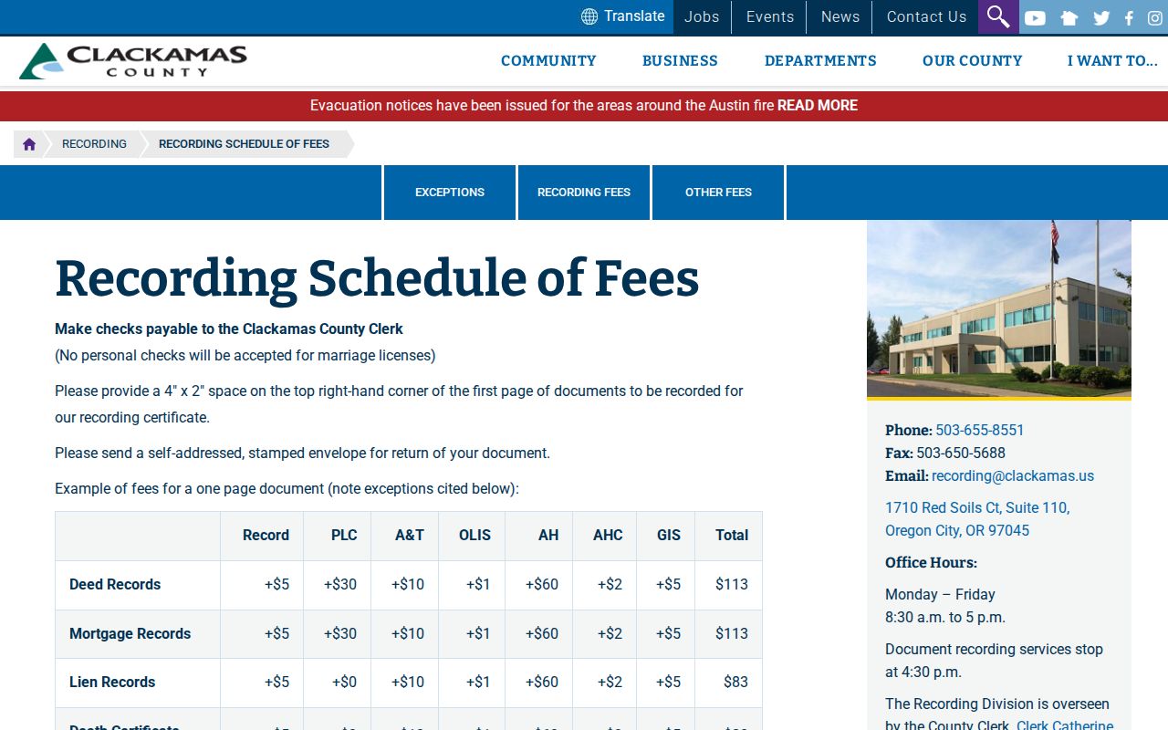
The published schedule helps a researcher request a precise instrument and copy. Ask the counter which historic books, index microfilm, or computer images cover the desired period.
West Linn Title Chain Eras
Clackamas County’s record chronology explains why a current map cannot supply a complete West Linn house history. State Archives inventory lists deed books A-Z and 27-698 for 1850-1966. Direct deed indexes cover 1851-1872; direct and indirect index microfilm covers 1851-1869; indirect indexes cover 1851-1872; and gray-drawer deed-index microfiche covers 1924-1985. Assessment ownership books provide another route for roughly 1966-2000. County historical assessment and tax material begins in 1848.
| 1850-1966 | Use the deed books to follow recorded land interests through the oldest preserved County series. |
|---|---|
| 1851-1872 | Use the direct and indirect deed-index sequence, with the matching 1851-1869 microfilm where relevant. |
| 1924-1985 | Ask about the gray-drawer deed-index microfiche for a party-and-legal-description search. |
| About 1966-2000 | Check Assessment ownership books for chronological ownership or deed access. |
| Modern online material | Property account summaries run from 2014-present and tax statements from 2000-present, but no historic owner web cutoff is claimed. |
County recording indexes documents within two business days and provides public research and copy access to microfilm and computer images. Keep the documented record reference with every step. The early industrial fire and flood history in Linn City does not establish a loss of the County’s core deed series.
West Linn Address Map Clues
Historic maps translate a modern street location into its earlier land description. The City’s historic-map collection includes an 1852 map, 1920s water-system detail, 1951 parcel map, 1954 and 1967 street maps, a 1983 street-and-parcel map, a 1993 approximate parcel map, and annexation and plat mapping from 1913-2005. Historic plat links include Linn City from 1844 and Robinwood from 1930, along with Bolton, Willamette Tracts, Sunset City, and other subdivisions.
A West Linn historic Sanborn map can add building and block context for the Willamette, Locks, and paper-mill area from 1892-1950. It is not proof that every current neighborhood appears on every sheet. Match the actual property to an actual sheet, then use a Recorder or Surveyor source for any legal reliance.
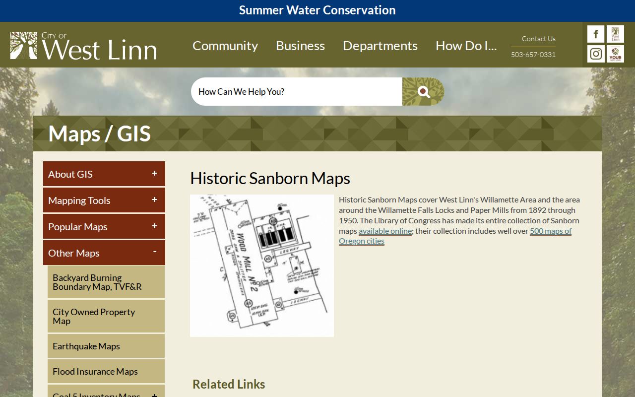
The City collection supplies an area-specific map route. It can date a building footprint or street setting when the chosen address falls within the published coverage.
West Linn Past Household Context
Ownership is only one part of a previous-residents question. The Oregon Historical Records Index, or OHRI, provides free surname-index leads for several Clackamas series. Its verified coverage includes deaths from 1915-1948, marriages from 1848-1896 and 1910-1935, divorces from 1852-1922 and 1936-1960, estates from 1844-1907, guardianships from 1848-1925, and naturalizations from 1887-1931. These entries point toward original records. They are not a continuous address roll.
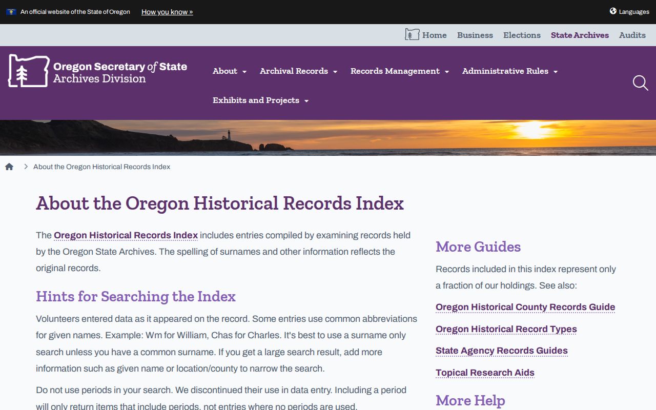
OHRI is most useful for name variants, event dates, probate trails, and archival references that can be compared to the house chronology.
For household context, pair a verified directory year with the closest federal census enumeration, then compare both to the title timeline. The West Linn City Directory collection route identifies the verified regional volumes. They include Pacific Directory Service’s 1941 Oregon City-West Linn-Gladstone title, Salisbury’s 1953 Oregon City, Gladstone, West Linn City Directory, and R. L. Polk Oregon City directories including Gladstone and West Linn for 1975 and 1986-87. No confirmed West Linn reverse or criss-cross run was found. West Linn Library’s Tidings print holdings run from 1981-present, offering dated notices and local context rather than a household roster.
For an older West Linn address, a useful request to library reference names the street or address and asks staff to check the 1941 Pacific Directory Service volume, the 1953 Salisbury’s volume, the 1975 and 1986-87 R. L. Polk volumes, and any reverse, criss-cross, or telephone volume they can verify. West Linn Library’s local-history page is a referral guide rather than a shelf-by-shelf directory catalog. Its reference desk can check LINCC and local-history holdings under West Linn, Linn City, Willamette, Bolton, Oregon City, and Clackamas County.
Household flow: request a verified regional directory entry, copy its title and page, compare it with the nearest federal census enumeration, then test the address against a deed, map, permit, newspaper, or OHRI lead. Each source adds a date instead of filling an unobserved period by assumption.
Regional access adds another channel. The research identifies HeritageQuest through Wilsonville Library, Library Edition Ancestry at Lake Oswego, Oregon City, and Wilsonville Libraries, the Clackamas County Family History Society, and the Genealogical Forum of Oregon. Pair a directory entry with the closest available census date, title reference, and newspaper item. That process records a dated connection to a place without filling an unobserved period with assumptions.
Note: A census identifies a household on its enumeration date, while a directory or newspaper item needs its own date and location check.
West Linn Permit Timeline
Building records can place a recent address event beside the title chain. West Linn Webdrawer publishes residential permits from 2012 to current, along with commercial permits and other City e-files. Older residential permits require a City public-records request, while electrical permits are handled through Clackamas County. Search a street name, address, project phrase, title word, meeting date, or document text according to the e-file’s documented controls.
A permit can date construction, demolition, a remodel, or a public process. It can also show an applicant, owner, contractor, or other project role. Those labels are valuable chronology clues, but they do not prove who lived at the property. Pair a permit date with a deed, directory, census, map, or archival source when building a West Linn previous-residents trail.
West Linn Name Crosswalk
Historical sources may not use the modern City name. The early settlement became Linn City in 1845. West Linn incorporated in 1913 from West Oregon City, Bolton, Sunset, and Willamette Heights-era communities. Robinwood was annexed in 1967, and its former Pacific Highway is now Willamette Drive or Highway 43. A negative search for West Linn alone can therefore be a terminology problem rather than proof that a person or parcel is absent.
Search Linn City, West Oregon City, Bolton, Sunset, Willamette Heights, Willamette, Robinwood, and West Linn when using library catalogs, archival indexes, historic maps, or newspaper sources. Record the name used by the source next to the legal parcel key. The local place name supplies historical context; it does not replace the legal description required for title research.
West Linn Previous Resident Limits
A title chain documents interests in land, not every person who lived in a building. A directory can list a home or business address for a particular publication date. A permit can identify a project participant. A census is tied to its enumeration date. Each source must be described by what it actually records. Owner mailing addresses, map labels, and later records should not be used to fill gaps in an earlier household story.
Lawful use. Use previous-resident research for family history, house history, estate matters, and personal curiosity. Do not use historical or current records to locate, harass, intimidate, or harm a living person.
When an older City file is needed, request it by address, year, and project. When an historic recording is needed, ask the County custodian which series covers the period.