
Walk a West Linn Street
A useful West Linn street directory inquiry starts with a single known address, not a name. The County’s map and assessment tools establish the parcel or tax account behind that address. From there, a researcher can ask the office that keeps owner information, match a legal description through recorded documents, and place later construction activity in time. Each step answers a narrower question. A tax account identifies property context, while a deed identifies parties to an instrument. Neither one proves that every named person lived there.
- Enter the address in AscendWeb to locate the assessment account and retain the spelling and street suffix shown there.
- Open CMap, find the same address, and save the parcel or tax-lot context, nearby map layers, and jurisdiction details.
- For an owner question, contact Clackamas Assessment & Taxation. CMap intentionally withholds owner names on the internet.
- Give the parcel key and legal description to the Recording Division when requesting the recorded deed that brought a named owner into title.
- Use a City permit or planning result to date an address event, then treat any applicant, contractor, or owner as that role rather than as a household claim.
The street-by-street method is strongest when every result keeps its source and date. It is also the safer way to notice that an owner mailing address, a property address, and a person’s residence can be different facts.
West Linn Street Search Fields
AscendWeb requires a Street Address for an address search. City, State/Province, and ZIP/Postal Code can narrow the result but do not replace that required field. A percent sign, %, can bridge a house-number and street-name pattern. An eight-digit Account Number is a separate exact-search route. CMap is the companion map view: it accepts an address, city, intersection, tax lot, or parcel number, then lets a user zoom or switch aerial imagery while examining the surrounding area.
| West Linn tool | Address entry | Useful control | Important limit |
|---|---|---|---|
| AscendWeb | Street Address required; City, State, and ZIP optional | % wildcard or eight-digit account number | It is an address/account search, not an owner-name search. |
| CMap | Address, city, intersection, tax lot, or parcel | Zoom, aerial imagery, parcel browsing | Parcel lines are not survey quality and owner names are withheld online. |
| Webdrawer | Address, street, project phrase, title, date, or record number | Published City e-file search | It is not a universal resident or permit index. |
The CMap search menu shows the address, parcel-number, and tax-lot routes available for this West Linn street directory workflow.
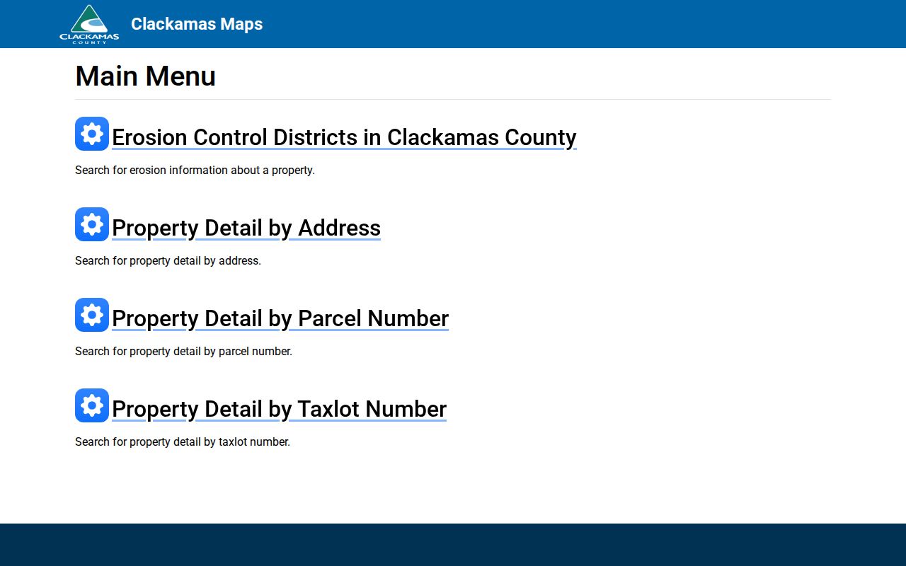
Use the map to orient the address and preserve parcel identifiers before contacting another records custodian. The visible map context is valuable, but it does not substitute for a survey or an ownership response.
West Linn Street Records Compared
Several records can be keyed to a West Linn address, but they do not supply the same kind of evidence. Combining them carefully helps prevent a common mistake: treating a property detail, a tax mailing address, or a permit contact as a present resident list. The parcel and legal-description keys are especially useful when a street name has changed form or a subdivision has several similar lots.
| Address record | Custodian | What it can establish | Access path |
|---|---|---|---|
| Assessment account | Clackamas Assessment & Taxation | Property and tax-account context | AscendWeb, then an office request for owner information |
| GIS parcel view | Clackamas County GIS | Tax lot, parcel geometry, districts, maps, and service context | Free CMap viewer |
| Recorded instrument | Clackamas County Clerk, Recording Division | Parties, legal description, and chronology of an interest | Counter or written search request; copies carry published fees |
| Residential permit | City of West Linn | Project timing and named project roles | Webdrawer for 2012-current records; older files by City request |
| Voter report | Clackamas County Elections | Eligible registrant data in the requested geography | Written request product with limits and exemptions |
For a whole-street question, the account and parcel keys keep the research anchored to land, while a properly requested voter report is limited to registrants and selected geography. Historic address-to-person leads require a verified reverse or criss-cross directory, not an assumed directory run. The historical collections themselves are cataloged on the West Linn City Directory page.
West Linn Owner Information
CMap’s owner-name boundary is deliberate. The County says it does not publish owner names on the internet and directs owner questions to Assessment & Taxation at propertytaxinfo@clackamas.us or 503-655-8671. Ask about a specific parcel or account, and retain the reply’s date. An owner mailing address merely tells the County where a tax notice goes. It may be a post-office box, a business address, an inherited-property contact, or another location. It is not evidence of current occupancy.
- Parcel
- A mapped unit of land used for tax and geographic reference.
- Situs address
- The physical location of the land or building.
- Plat
- An official subdivision or land map that can connect a street address to a lot or block.
- Criss-cross directory
- An address-to-name directory, if a library can verify a particular title and year.
A parcel number and the legal description are usually more durable research keys than a street address alone. They allow the Recorder or Surveyor to distinguish similarly named places without guessing at a household.
CMap’s published property categories can add useful physical and public-service context, including building square footage, bedrooms, bathrooms, year built, last-sale indication, land and building values, jurisdiction, voting district, service providers, hazards, surveys, and tax maps. No individual parcel card was opened for this research, so a result should be inspected before its fields are described as present for a particular address. The public map still omits online owner names. Treat visible categories as parcel context, and send the owner question to Assessment & Taxation.
West Linn Deed Counter Route
No verified official online grantor/grantee screen was located for Clackamas County. A West Linn street directory search should therefore use the Recording counter or a written request instead of claiming an online index exists. Supply the current owner name when known, parcel account or tax lot, street address, approximate purchase date, and the desired instrument type, such as a deed, mortgage, satisfaction, lien, plat, easement, or affidavit. Ask staff which index or historic books and microfilm cover the requested period.
Published County costs are $3.75 for a search, 25 cents for the first page and each additional page, and $3.75 for certification. Start with the deed that put the present owner in title. Record its grantor, grantee, date, reference, and legal description. Then search the seller as an earlier grantee, matching the same land description at every step. That is a title trail, not proof that any party physically lived at the address.
The West Linn public-records request form is the City channel for City-held records, while the County Recording counter handles recorded real-property research.
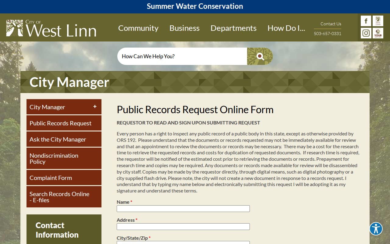
Describe the address, time period, and document sought when making a City request. A focused request gives the custodian a clearer basis to locate and redact any protected information.
West Linn Street Deed Index Eras
Older West Linn street work shifts from a current parcel screen to Clackamas County’s historical recording media. The State Archives inventory identifies deed books A-Z and 27-698 from 1850 through 1966. Direct deed indexes cover 1851 through 1872, while direct and indirect index microfilm reaches 1851 through 1869. The indirect index also covers 1851 through 1872. For later historical work, ask about gray-drawer deed-index microfiche from 1924 through 1985 and Assessment ownership books for roughly 1966 through 2000.
These ranges are a counter-research map, not proof that a deed is online or that a party lived at the street address. Give staff the parcel key, legal description, party name, and date range, then ask which series best fits the period. A physical street address can change form, but the legal description is the element that keeps each instrument attached to the same parcel.
West Linn Permit History
City permit material adds a dated building-history layer. Residential permit e-files are available in West Linn Webdrawer from 2012 to the present. Older building permits require a City request, and electrical permits are handled through Clackamas County. A Webdrawer result can identify a construction, demolition, remodel, meeting, or public process tied to an address. Label a named person by the role the record gives, such as applicant, owner, or contractor. None of those labels establish who lived there.
The West Linn Webdrawer collection is the published e-file route for a street or project search.
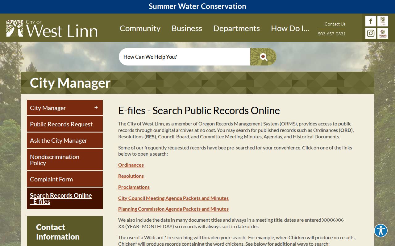
Use a street name or address phrase as a starting point, then examine the date and document type before drawing a conclusion about the property’s history.
West Linn Street Civic Context
Street research has a civic-geography layer as well. CMap can place a parcel in municipal, voting, service, zoning, and hazard contexts, but those layers should be read as map information rather than evidence of a household. West Linn also recognizes eleven civic neighborhood associations: BHT, Bolton, Hidden Springs, Marylhurst, Parker Crest, Robinwood, Rosemont Summit, Savanna Oaks, Skyline Ridge, Sunset, and Willamette. Their boundaries and public meeting materials can explain the community setting of a street without creating a list of the people who live there.
The City’s neighborhood maps identify current civic geography, while a historic record may use Linn City, West Oregon City, Bolton, Sunset, Willamette Heights, Willamette, or Robinwood. Keep the era-appropriate place name beside the parcel key when research crosses an annexation or older map. For the immediate-block method and the association-map route, use the West Linn Neighbor Lookup.
Note: Civic boundaries help describe an area, but a legal description and recorded plat remain the better keys for property research.
West Linn Street Voter Route
Clackamas County Elections handles public voter-data requests. The route is not a casual West Linn street directory screen. The County’s walking list is a PDF organized by precinct, with addresses and registered voters plus party affiliation. Its registered voter list can be requested by County, district, precinct, and party selections, and may include residential and mailing address, age, and party. A requester can ask about a different report, but the County decides whether it can provide it and may quote an additional charge.
The County’s form lists a $25 setup fee, then 25 cents per 1,000 records rounded down to the nearest 25 cents, a possible $5 CD charge, and a $500 maximum. It requires at least 24 hours of processing and an agreement against commercial use under ORS 247.955. Reports are generally emailed unless another format is requested. Historical participation can show cast or not cast status for up to six years in the requested report, but Oregon’s secret ballot keeps ballot choices private.
Address-confidentiality and voter exemptions still apply. Protected records, nonregistrants, minors, and people whose information is otherwise unavailable cannot be inferred from a street search. Ask County Elections about the allowed geography and current request terms before treating a report as a dated registrant record.
West Linn Street Limits
A West Linn street directory cannot reliably identify every household member, unlisted occupant, delivery recipient, or utility customer. Oregon motor-vehicle personal information is governed by the federal Driver’s Privacy Protection Act, and it is not an address-research fallback. County voter information also has strict boundaries. The walking-list product is precinct based and may include registered voters and party affiliation at residential addresses, but it excludes nonregistrants and protected information. It does not reveal ballot choices.
Oregon’s Address Confidentiality Program and county voter-address exemptions protect qualifying people and households. Missing or shortened information must never be reconstructed from parallel records. A nearby parcel is not a shared legal boundary, a social connection, or proof of a resident relationship.
Lawful use. Use West Linn address records for personal research, family history, property curiosity, or civic transparency. Do not use any result to stalk, harass, intimidate, or harm another person.
Note: Preserve the source date and custodian for every address result, because ownership, registration, and City records change over time.